London weather: Is more snow on the way and when will the ice begin to thaw?

and live on Freeview channel 276
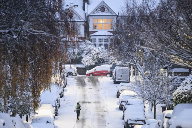
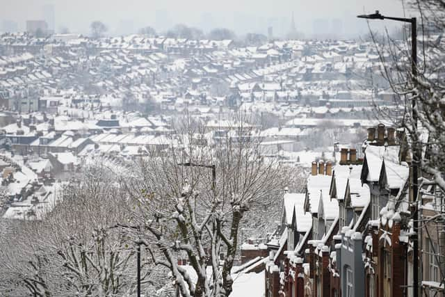
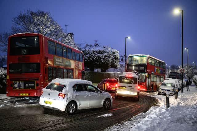
While many Londoners welcomed the snow when it fell on Sunday evening, it’s now stuck around and frozen into sheets of ice in many places.
Now the sudden wintery influx has become somewhat of an inconvenience.
Advertisement
Hide AdAdvertisement
Hide AdThe good news is it doesn’t look like there’s too much more of the white stuff on the way.
But the remnants of ice sheets probably won’t shift until temperatures rise next week.

Friday
Temperatures will remain chilly for much of the day, with the mercury topping out at 1C according to the Met Office.
Advertisement
Hide AdAdvertisement
Hide AdLows of around -2C to -3C will be experienced on Friday morning and evening but it should be sunny for much of the afternoon.
There’s a 10% chance of precipitation, which would most likely be snow, in the early morning but this drops to 5% by midday.
Saturday
Things are likely to remain dry but temperatures should increase to around 5C by midday.
There is a chance of some sunny spells around 3pm, but it should otherwise be overcast for much of the day.
Advertisement
Hide AdAdvertisement
Hide AdThere’s likely to be some fog in the early hours of Saturday morning, when temperatures will be as low as -3C.
Sunday
Temperatures are expected to pick up again on Sunday, with highs of around 9C according to the Met Office as we get into the evening.
There’s an 80% chance of precipitation from 12pm onwards, which may start off as sleet or snow but turn into rain as the day progresses.
The winds are to pick up again after a period of low pressure, reaching 30mph from around 6pm onwards.
Monday
Advertisement
Hide AdAdvertisement
Hide AdMonday will see the return of temperatures that would be considered ‘warm’ for this time of year, with peaks of around 12C for much of the day.
Although there is around a 50% to 60% chance of precipitation throughout December 19, this will most certainly be rain and not the snow or sleet we’ve been getting recently.
The consistent above freezing temperatures should also see the remaining snow and ice melt, allowing Londoners to go about their business freely.
Comment Guidelines
National World encourages reader discussion on our stories. User feedback, insights and back-and-forth exchanges add a rich layer of context to reporting. Please review our Community Guidelines before commenting.