TfL collaborates with Google Maps to deliver safer and better navigation for London’s cyclists

and live on Freeview channel 276
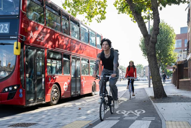
Cycling in London is to become that bit safer, as a host of Google Maps enhancements born out of a collaboration with Transport for London (TfL) are set to help those on two wheels better-navigate their way around the city.
TfL and the city’s boroughs have greatly expanded the cycling network in recent years, up from 90km in 2016 to more than 340km earlier this year. This has included an increase of 24km of new or upgraded routes since April 2022.
Advertisement
Hide AdAdvertisement
Hide AdCyclists have however encountered issues when using Google Maps, with the latest data on cycleways sometimes missing and it not delivering the best way of getting from A to B.
In July 2022, TfL hosted a summit to understand some of the primary barriers facing cyclists in London, one of the key findings being how ineffective some digital journey planners were.

Since the summit, TfL and Google have collaborated to improve the functionality of Maps for cyclists, with one step being the transport authority can now provide pre-launch feedback on new products.
As a result of the partnership, Google Maps is also rolling out a host of additional features focussed on those travelling on two wheels, including providing a detailed breakdown of the route, enabling users to preview journeys in advance, and delivering recommendations which take account of traffic and new cycling infrastructure.
Advertisement
Hide AdAdvertisement
Hide AdThe updates will be launched in stages, though Google hopes all users to have access to them by the end of the year.
London’s walking and cycling commissioner, Will Norman, said: “The mayor and I are committed to making cycling in London as safe and accessible as possible and have been working closely with Google. I’m delighted that Google Maps is enhancing the navigation system for cycling.
“With existing digital journey planning data, cyclists haven’t always been able to see the best route available to them. These updated algorithms will help Londoners choose safer cycling routes, whether it is a road with less traffic or part of the mayor’s growing network of Cycleways, enabling more people to get around by bike as we build a greener and better London for everyone.”
Ajay Arora, UK partnerships lead at Google Maps, said: “To help make cycling easier for more people, we’ve been working with local governments to ensure Google Maps shows up to date cycling routes. We are delighted to collaborate with organisations like Transport for London to add hundreds of kilometres of new cycle lane data.
Advertisement
Hide AdAdvertisement
Hide Ad“Thanks to the collaboration with TfL we’ve been able to prioritise cycling on safer, quieter roads, and these updates are now available to cities around the world. In total, these changes are improving the journeys of more than 60 million people who come to Maps every month for cycling directions.”
Comment Guidelines
National World encourages reader discussion on our stories. User feedback, insights and back-and-forth exchanges add a rich layer of context to reporting. Please review our Community Guidelines before commenting.