UK snow and ice chaos not over as Met Office predicts widespread big freeze before Christmas
and live on Freeview channel 276
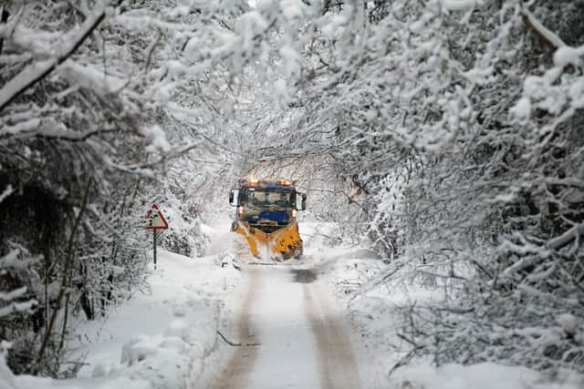
Parts of the UK have been brought to a standstill overnight as a result of snow and ice gripping the nation. Among the disruption has been delays and cancellations to flights at several airports.
The countdown to Christmas is on and with it, anticipation for more snow in the coming days. Those who are hoping for snow may be in for an exciting pre-Christmas treat.
Advertisement
Hide AdAdvertisement
Hide AdThe Met Office has released its forecast for the next couple of weeks, a forecast which includes a long range look at the week leading up to Christmas. The early indication seems to be that snow is possible in some areas of the UK.
In the current forecast for December 16 onwards, it looks as though the north and east of the country have the highest chance of seeing snow. As we get closer to Christmas, the south and south west may also catch a glimpse of the white stuff.
Strong winds and low temperatures will provide a bitterly cold feel across large areas of the country. There should, however, be a slight rise in temperatures in some places as we head towards the big day.
Monday, December 12
Overnight sleet and snow will gradually ease in southeast England. Wintry showers in the north and east, persistent across the Northern Isles, but elsewhere mainly dry and fine. Some freezing fog may be slow to clear in places. Feeling cold.
Advertisement
Hide AdAdvertisement
Hide AdA few wintry showers will continue across the north and near some eastern coasts. Elsewhere dry with a hard frost once again as well as freezing fog likely becoming dense and widespread.
Tuesday, December 13
Continuing cold, with frost and fog lingering in places. Otherwise fine, but further wintry showers near exposed coasts, later perhaps into the far southwest. The snow will be most persistent across northern Scotland.
Outlook for Wednesday, December 14 to Friday, December 16
Staying cold, but often bright, though frost and fog overnight proving slow to clear in places. Increasing threat of outbreaks of rain or snow by the end of the week.


Met Office long range weather forecast December 16-25
Sleet and snow showers are likely to continue across the north and east, and perhaps into the southwest of the UK at the beginning of the period, although these should be mainly confined to coastal regions. Elsewhere it should be mostly dry, clear and often sunny further inland with light to moderate winds.
Advertisement
Hide AdAdvertisement
Hide AdGenerally feeling cold to very cold, with widespread frosts overnight and a chance of freezing fog in places. A more unsettled regime is likely to develop later on in the period, bringing spells of rain and possibly snow into many parts of the UK, especially the south and the west with strong winds in places. Temperatures are likely to turn less cold through the remainder of this period.
