Met Office issues yellow weather warning for fog across the UK - full list of where it covers
and live on Freeview channel 276
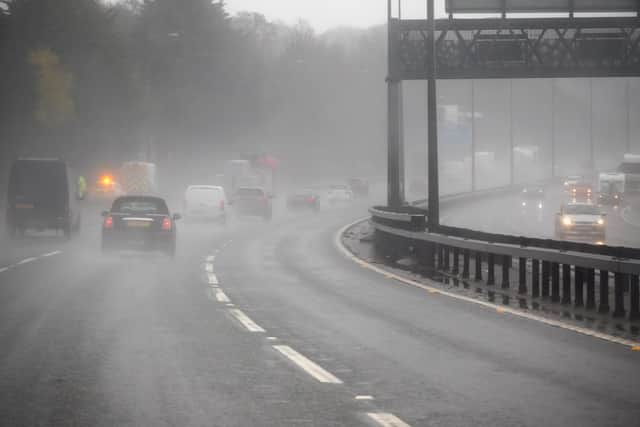
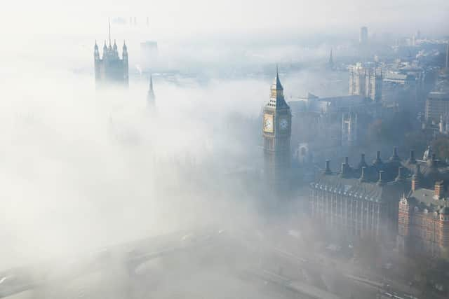
The Met Office has issued a yellow warning for fog across parts of the UK, stating that people travelling should expect some delays to services. In the warning, the Met Office states: “areas of fog are likely to cause some travel delays on Tuesday morning”.
Fog can cause major disruption for those travelling, specifically affecting those on the road or using air travel due to reduced visibility.
Advertisement
Hide AdAdvertisement
Hide AdAccording to the Highway Code headlights should be used when visibility is below 100 metres. Before setting off on a foggy journey, drivers should make sure their lights - especially fog lights - are working properly.
A Met Office spokesperson said: “Large areas of fog have developed across much of England overnight with visibility of 50-100 metres in many places leading to some challenging travel conditions. Fog will gradually lift through mid to late morning.”
So, where is the weather warning in place? Here’s everything you need to know including a weather forecast for the remainder of the week.
Where does the weather warning cover?
The warning does affect a large chunk of the south covering all of London and most of Birmingham. The warning also reaches parts of Cardiff, Nottingham and Hull.
Full list:
East Midlands
- Derby
- Derbyshire
- Leicester
- Leicestershire
- Lincolnshire
- Northamptonshire
- Nottingham
- Nottinghamshire
- Rutland
East of England
- Bedford
- Cambridgeshire
- Central Bedfordshire
- Essex
- Hertfordshire
- Luton
- Norfolk
- Peterborough
- Southend-on-Sea
- Suffolk
- Thurrock


London & South East England
- Bracknell Forest
- Brighton and Hove
- Buckinghamshire
- East Sussex
- Greater London
- Hampshire
- Isle of Wight
- Kent
- Medway
- Milton Keynes
- Oxfordshire
- Portsmouth
- Reading
- Slough
- Southampton
- Surrey
- West Berkshire
- West Sussex
- Windsor and Maidenhead
- Wokingham
North East England
- Darlington
- Durham
- Gateshead
- Hartlepool
- Middlesbrough
- Newcastle upon Tyne
- North Tyneside
- Redcar and Cleveland
- South Tyneside
- Stockton-on-Tees
- Sunderland
South West England
- Bath and North East Somerset
- Bournemouth Christchurch and Poole
- Bristol
- Devon
- Dorset
- Gloucestershire
- North Somerset
- Somerset
- South Gloucestershire
- Swindon
- Wiltshire


West Midlands
- Herefordshire
- Shropshire
- Staffordshire
- Telford and Wrekin
- Warwickshire
- West Midlands Conurbation
- Worcestershire
Yorkshire & Humber
Advertisement
Hide AdAdvertisement
Hide Ad- East Riding of Yorkshire
- Kingston upon Hull
- North East Lincolnshire
- North Lincolnshire
- North Yorkshire
- South Yorkshire
- West Yorkshire
- York
When is the weather warning in place?
The Met Office website states that the weather warning is in place from February 14, at 3am until 10am. However, depending on the conditions this could change.
What to expect
The Met Office website says that the fog will be expected to cause travel delays to public services. They say that people can expect:
- Delays or cancellations to flights
- Slower journey times with delays to bus and train services possible
Weather forecast for the UK
Today
For most of today areas of fog and low cloud will slowly lift across England and south Wales. Northwestern areas will see some clouds and outbreaks of rain. However, for the most part there will be bright sunny spells developing and some pleasant light winds.
Tonight
There will be outbreaks of cloud, with some rain turning heavy at times across western Scotland and Northern Ireland. Elsewhere it will be mostly dry with long clear spells and patchy frost developing throughout the night.
There will be a band of cloud and rain moving east, however this will weaken quickly. For the most part the day will remain dry, bright and mild. Blustery shows will develop in northwestern areas.
Comment Guidelines
National World encourages reader discussion on our stories. User feedback, insights and back-and-forth exchanges add a rich layer of context to reporting. Please review our Community Guidelines before commenting.
