Snow in London: Weather forecast for capital as Met Office issues yellow alert

and live on Freeview channel 276
Londoners could expect snow in the capital this week as the weather conditions take an icy turn.
The Met Office has issued a yellow weather warning for large parts of the UK until Wednesday, as an Arctic blast brings freezing conditions.
Advertisement
Hide AdAdvertisement
Hide AdFurther warnings are likely to be issued throughout the week.
Roads and railways could be disrupted with longer journey times predicted.
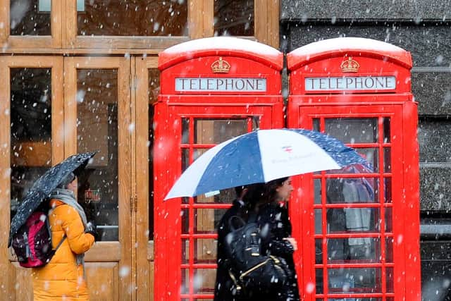

The heaviest snowfall is expected in the north and east of the UK, but some snow and hazardous icy roads and pavements are expected in the capital.
Met Office Deputy Chief Meteorologist Steven Keates said: “The impactful weather will continue through the second half of the week as mild air meets cold air with further snow, ice, wind and then rain likely later in the week and into the weekend.
Advertisement
Hide AdAdvertisement
Hide Ad“From Wednesday, the focus of further snow is across parts of southern England and south Wales, with snow likely to lower levels for a time, and many may wake up to a couple of centimetres of snow on Wednesday morning.
“Through Thursday and Friday the snow risk spreads to central and northern areas of the UK, though it’s not possible to pick out precise locations regarding who will see the heaviest snowfall.
“With a developing situation, it’s important to stay up to date with the latest forecast and further warnings are very likely.”
London weather forecast
Tonight:
There will be outbreaks of rain this evening and overnight, turning wintry over hills and perhaps to lower levels later, with slight accumulations and some icy patches developing in places by morning. Minimum temperatures 0 °C.
Tuesday:
Advertisement
Hide AdAdvertisement
Hide AdThicker cloud, rain and snow will clear southwards during the morning, allowing bright or sunny spells to develop from the north. Remaining cold. Maximum temperatures 5 °C.
Outlook for Wednesday to Friday:
A very cold start Wednesday, then increasingly cloudy, with periods of rain, sleet and snow possible. Turning milder with rain and stronger winds Thursday and Friday.
Comment Guidelines
National World encourages reader discussion on our stories. User feedback, insights and back-and-forth exchanges add a rich layer of context to reporting. Please review our Community Guidelines before commenting.